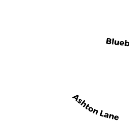
36 ASHTON LN
Owner Information
DAVIAU GEORGE E JR
36 ASHTON LN
SOUTH HADLEY, MA 01075 2164


Property Details
36 ASHTON LN is classified as a Single Family Residential (Colonial).
The primary structure on this property was built in 1993. There are 3,924ft2 of built area within this property. There is 2,016ft2 of residential/living space within this property. This property is listed as having 6 rooms.
36 ASHTON LN is valued at $346,700. The land is valued at $110,800 and the structures are valued at $235,900.
This property is in Zone RA1. Confirm with local Zoning Board authorities to ensure there are no overlays or other easements on this property.
The most recent deed for 36 ASHTON LN is recorded at the local registrar in Book 07492, Page 0131. 36 ASHTON LN was last sold on Monday, September 29, 2003 for $287,500.
Assessment data from fiscal year 2022.
Flood Data
According to the FEMA National Flood Hazard Layer, this property does not appear to be in a flood zone. It may also be in an area not yet reviewed. Nonetheless, confirm this information prior to taking any action.
To view the flood hazards around this property, create a FEMA "Firmette" Map of the area around 36 ASHTON LN.
Broadband Internet Providers
| Provider | Type | Bandwidth (mbps) | |
|---|---|---|---|
| Verizon New England Inc. | DSL | 7 | 0 |
| Viasat Inc | Satellite | 100 | 3 |
| Comcast | Cable | 1000 | 35 |
| VSAT Systems, LLC. | Satellite | 2 | 1 |
| HughesNet | Satellite | 25 | 3 |
| GCI Communication Corp. | Satellite | 0 | 0 |
| T-Mobile | Fixed Wireless | 25 | 3 |
| PAETEC Communications, Inc | Fiber | 0 | 0 |
Broadband service provider data from December 2020.
Adjacent Properties
- 34 ASHTON LN
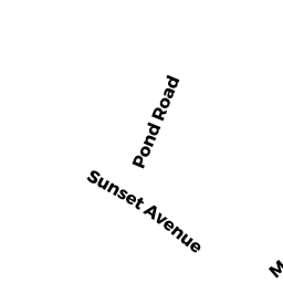
Single Family Residential owned by CARTER BRIAN - SUNSET AV
Undevelopable Residential Land owned by ROBERTS RACHEL - 56 EASY ST
Other owned by GUSTAFSON LAWRENCE A - POND RD
All land designated under Chapter 61 (not classified as Open Space) owned by GUSTAFSON LAWRENCE A - 38 ASHTON LN
Single Family Residential owned by FISHER CHRISTOPHER